Our Approach
The I-64 Hampton Roads Bridge-Tunnel in southeastern Virginia between the City of Hampton and the City of Norfolk has long been one of the region’s most congested corridors. The existing 3.5-mile facility consists of two 2-lane immersed-tube tunnels on artificial islands (called North Portal Island and South Portal Island, respectively), with trestle bridges to shore. These existing tunnels opened in 1957 (current westbound lanes) and 1976 (eastbound lanes) and are approximately 7,500 feet long. The tunnels ensure that vessels from the nearby Norfolk Naval base have full access to the bay, even as ship sizes increase. Traffic on these four lanes exceeds 100,000 vehicles per day during peak summer traffic.
The VDOT I-64 HRBT Expansion project will ease the roadway congestion by widening the four-lane segments of the I-64 corridor in the cities of Hampton and Norfolk. The 9.9-mile corridor between Settlers Landing in Hampton, VA and I-564 in Norfolk, VA will include landside highway widening about 1 mile in Hampton, marine bridges about 9,000 ft across Hampton Roads waterway and 5,000 ft across Willoughby Bay, and landside highway widening of about 5 miles in Norfolk.
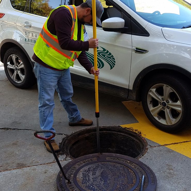
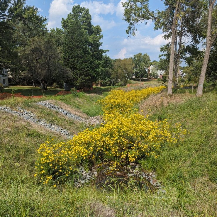
Straughan is preparing the Stormwater Pollution Prevention Plan (SWPPP), including Erosion Sediment Control (ESC) and narrative, Post Construction Stormwater Management (SWM) plan and narrative, Pollution Prevention (P2) Plan, temporary drainage design, and VDOT application for Virginia Pollutant Discharge Elimination System (VPDES) Construction General Permit (CGP). Straughan developed the draft Environmental Management plan. Work for the Independent Environmental Monitor services includes erosion and sediment control inspection and environmental permit compliance.
